Flood of information prepares community
Location
Goulburn Broken Catchment
Outputs
- 28,850 people accessed the portal
- 8,407 people downloaded a report from the portal
Investment
Partners
- Greater Shepparton City Council
- Benalla Rural City Council
- Mitchell Shire Council
- Moira Shire Council
- Murrindindi Shire Council
Regional strategies
Goulburn Broken Regional Floodplain
Management Strategy 2018-2028
A partnership between the Goulburn Broken CMA and local municipal councils is helping communities better plan for flood. The Goulburn Broken Community Flood Intelligence Portal is an online tool providing residents with flood data across floodplain areas and property-specific flood information.
A key role of the Goulburn Broken CMA is to investigate how far floodwaters are likely to extend and how high they are likely to rise. Councils also have a responsibility to consider land-use and development planning permit applications within areas of land subject to flooding, in association with the CMA, as the floodplain management authority.
To help meet this obligation, Goulburn Broken CMA and the Greater Shepparton, Benalla, Moira, Strathbogie, Mitchell and Murrindindi Councils co-funded the development of the Goulburn Broken Community Flood Intelligence Portal, accessed from the Goulburn Broken CMA website.
Now, residents and businesses of properties in the areas covered by the portal can access current and predicted flood heights and property information to help them understand and plan for their property-specific flood risk. They need only enter their address and a report is generated.
The data contained in the portal became a vital source of information in Spring 2022 when the region was hit with major flooding.
Since then, upgrades to the portal have resulted in increased speed and load capability along with functionality and accessibility improvements. More data will be added over time as numerous current flood studies are completed.
Flood outlook information sessions were held due to the ongoing wet conditions and swollen waterways that persisted in parts of the catchment during winter 2023. Goulburn Broken CMA floodplain staff were in attendance at the sessions to explain how to use the portal and encourage residents to understand their flood risk and be flood ready.
As awareness increases, the portal continues to become an increasingly useful tool to assist the catchment community to prepare and plan.
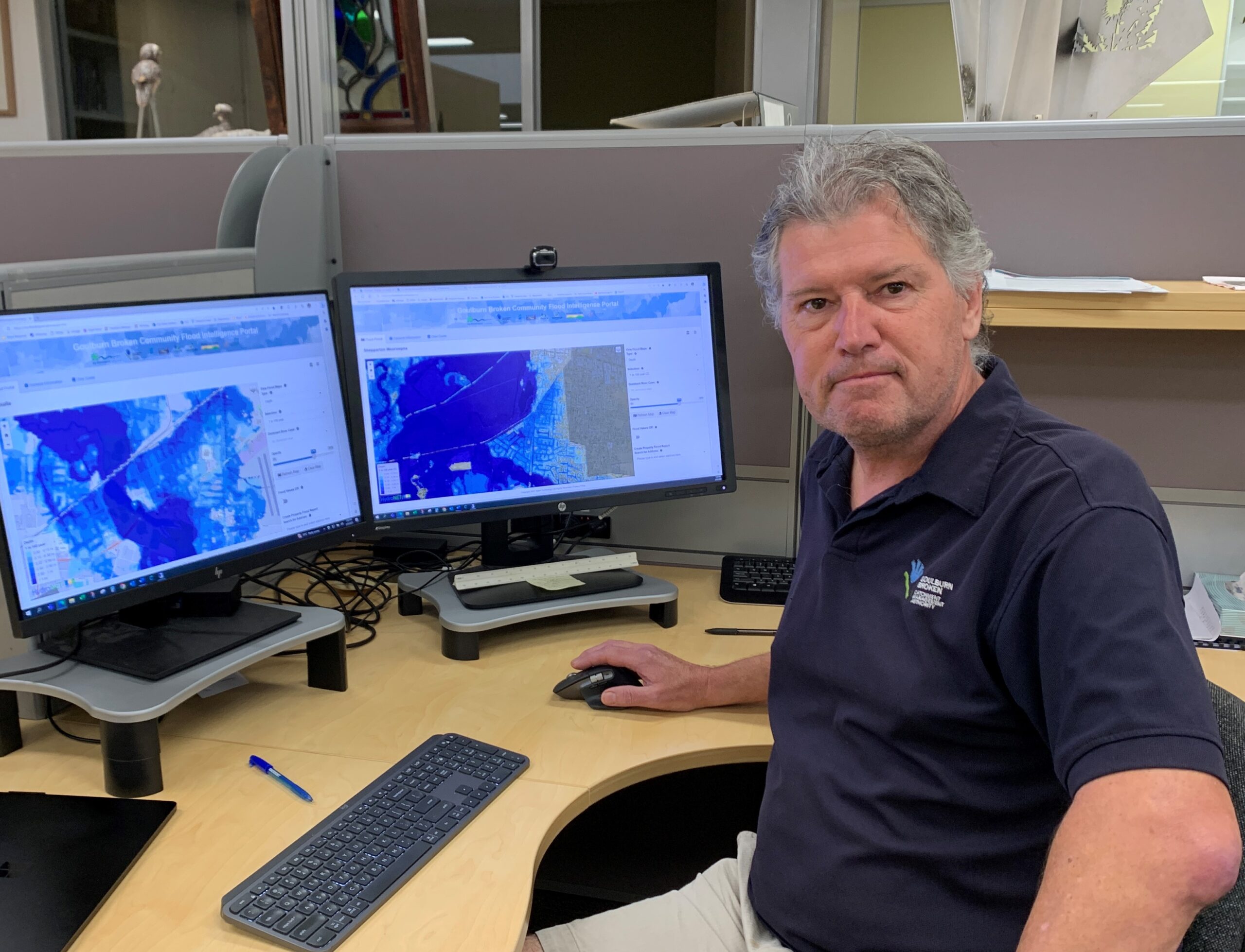
Goulburn Broken CMA Floodplain Manager Guy Tierney displays the online flood mapping tool