Actions and Achievements Report 2025
Read our latest Communiqué
CMAs get it done
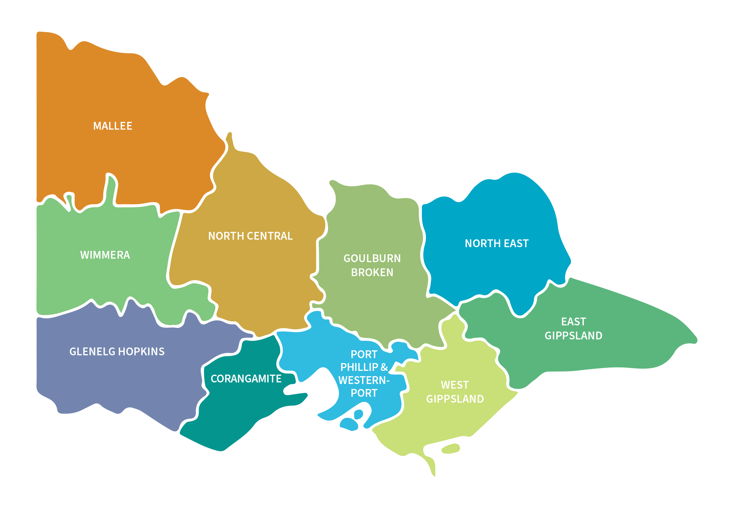
Regional Actions and Achievements
2024-25 achievement highlights
194,574 hectares of weed control to preserve Victoria’s precious natural resources.
139 kilometres of fencing to protect and restore waterways
15,000 approvals and advice for works on waterways and to keep communities safe from floodwaters
2,438 hectares of vegetation established, protected and enhanced for wildlife and biodiversity
4,414 hectares of agricultural change to future proof farming
Case studies
Highlighting actions in partnership with communities which protect our waterways, landscape, species and environment.
CORANGAMITE
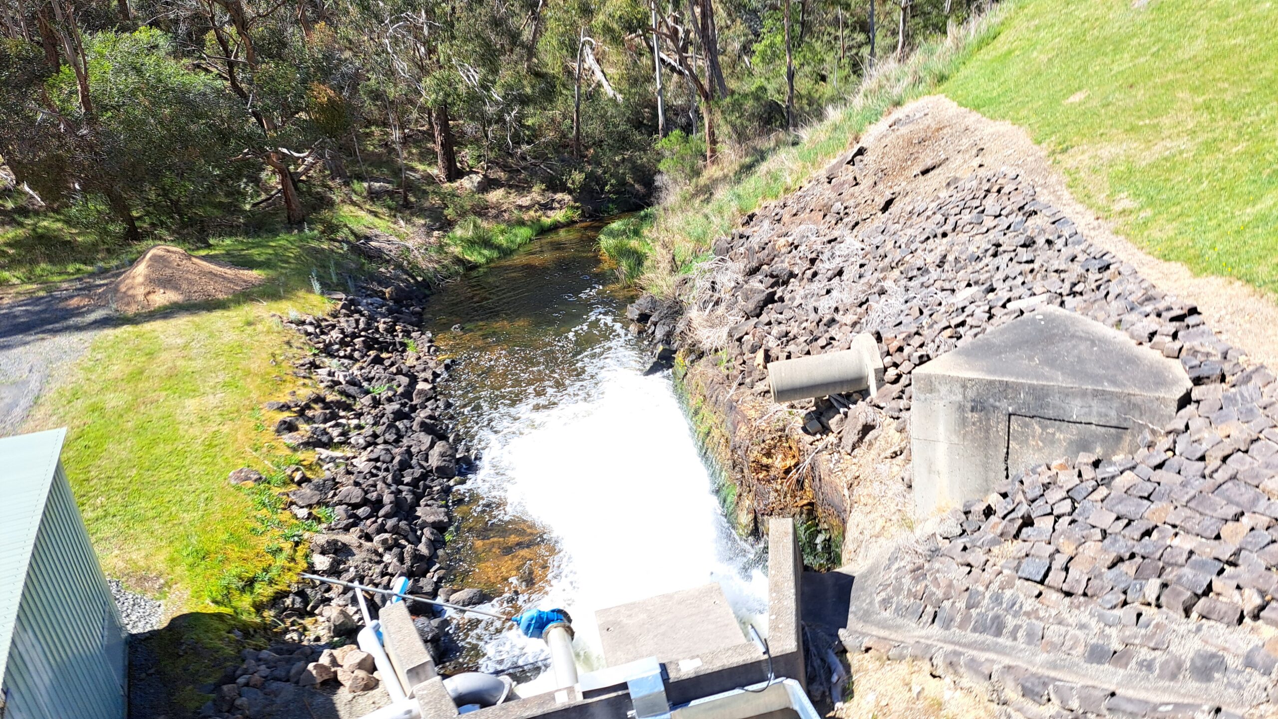
Working Together to Keep the Moorabool River Flowing
Keeping a river flowing in extremely dry conditions can be a significant challenge. Wadawurrung Traditional Owners Aboriginal Corporation and Corangamite CMA are working together to maintain flow on the Moorabool River.
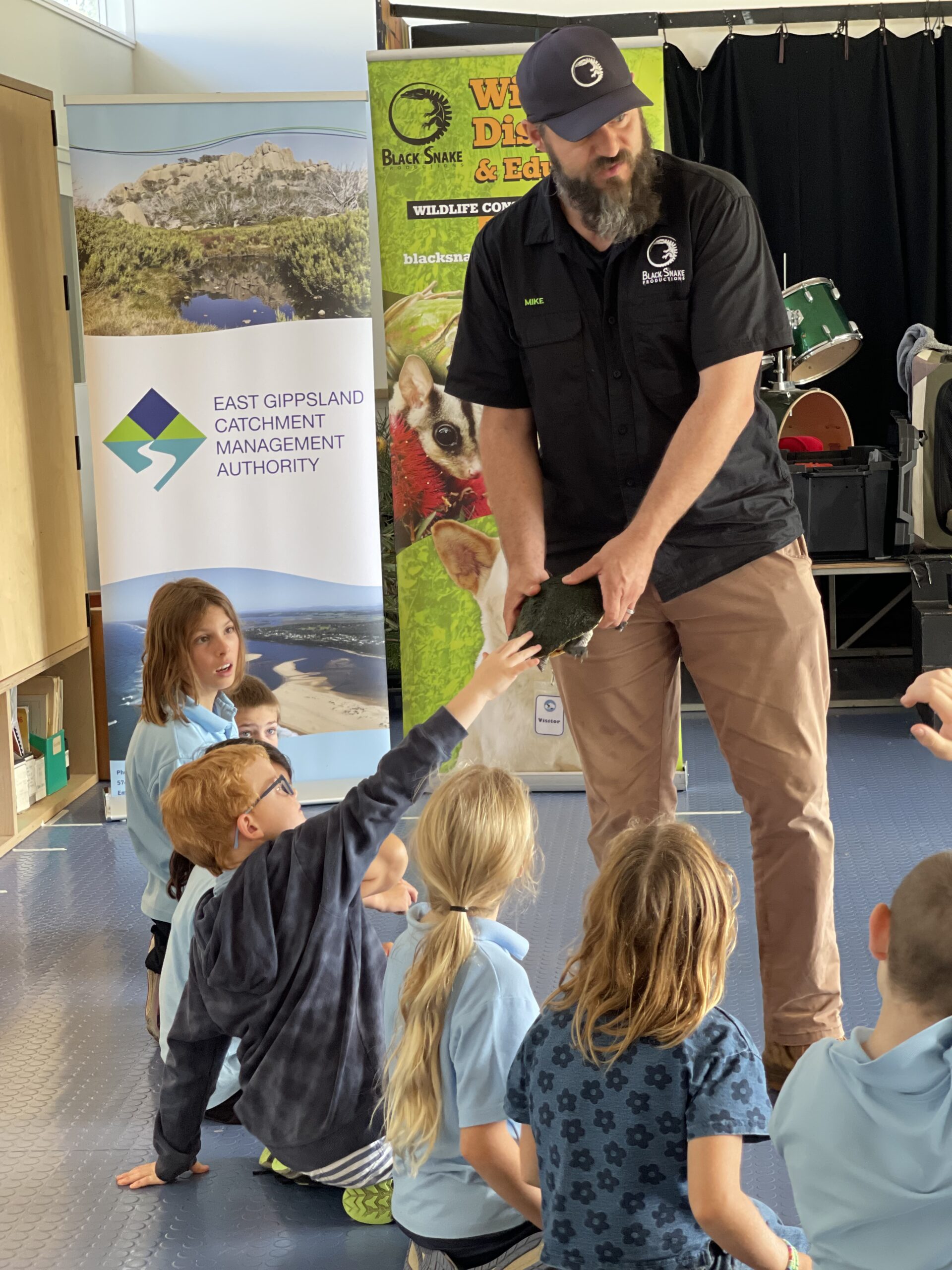
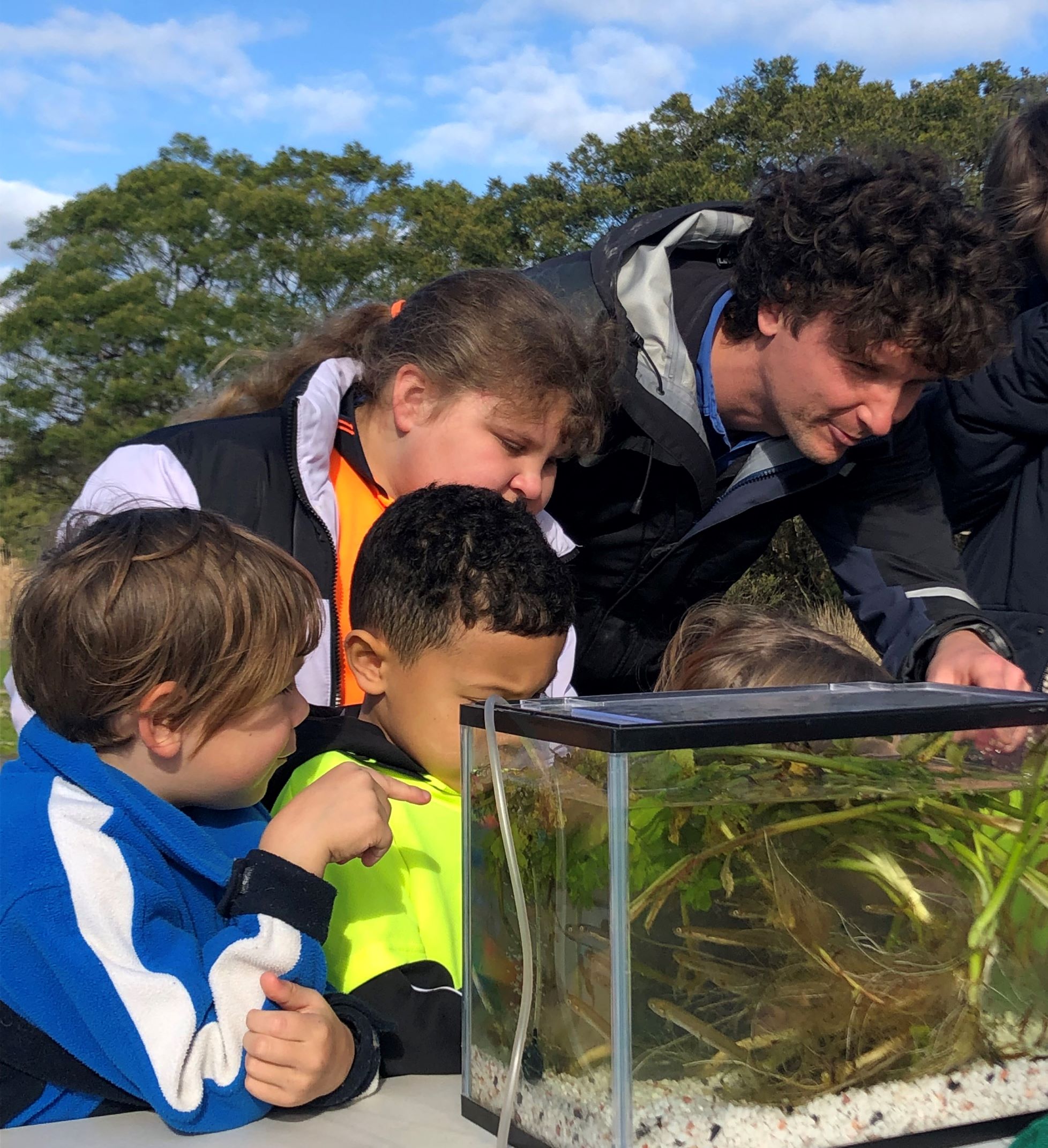
EAST GIPPSLAND
Catchment Connections
Students across East Gippsland explored natural resource management through art and wildlife, thanks to East Gippsland CMA’s Catchment Connections roadshow, highlighting biodiversity, waterway health, and threatened species.
GLENELG HOPKINS
Junior Rangers learning On Country
The Winda-Mara Junior Rangers school holidays program is a long running partnership between Winda-Mara Aboriginal Corporation and Glenelg Hopkins CMA’s water resources team, helping young people learn about the catchment on Country.
GOULBURN BROKEN
Connecting Culture and Country
The Connecting Culture and Country project is working together with Traditional Owners and partners to protect and enhance the Goulburn Broken catchment’s natural and cultural values.
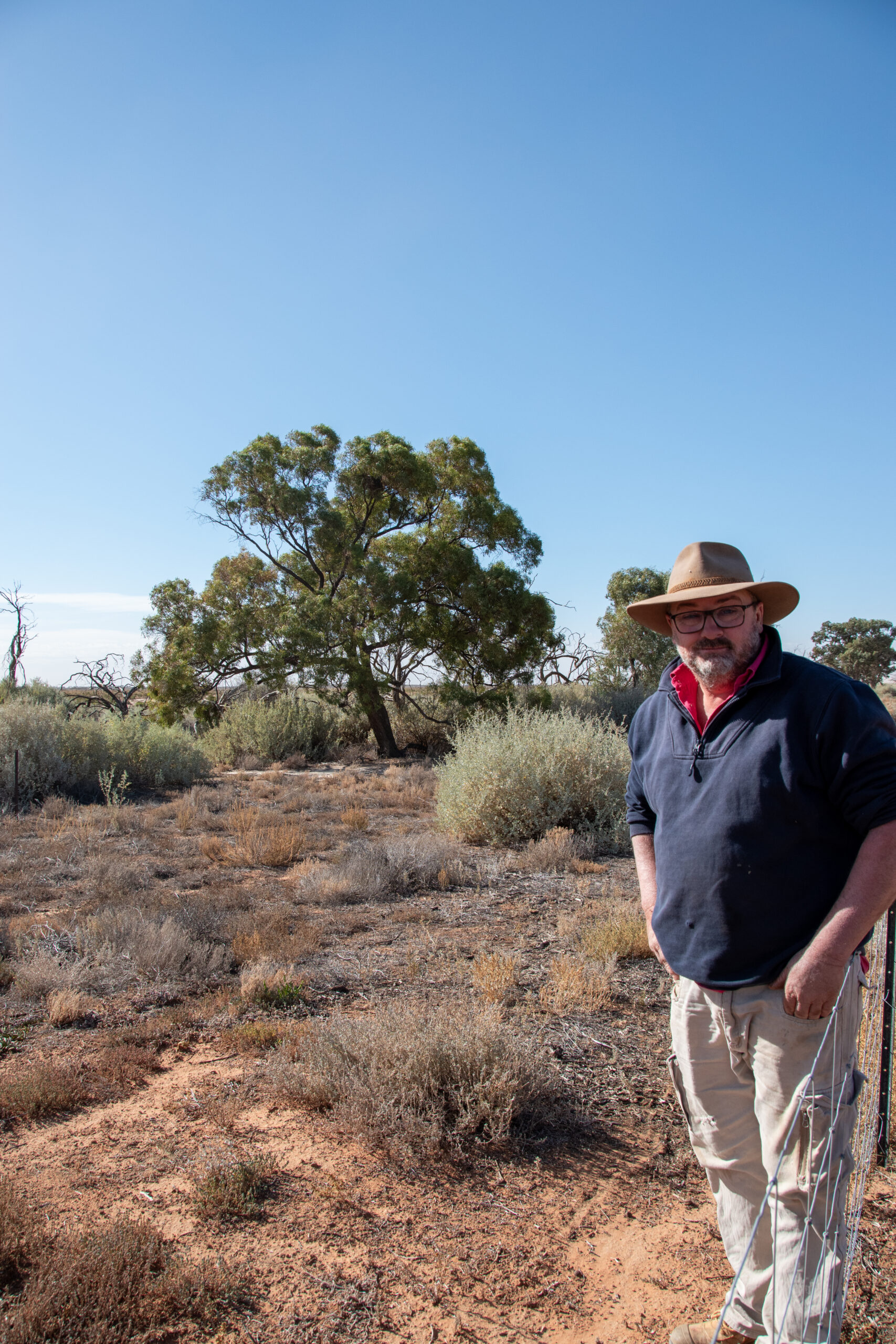
MALLEE
Farmers putting up their hands up to get the job done
For Mallee farmer Matt Curtis, putting his hand up for the Mallee CMA stewardship program meant he was able to finish an important job that may not have seen completion.
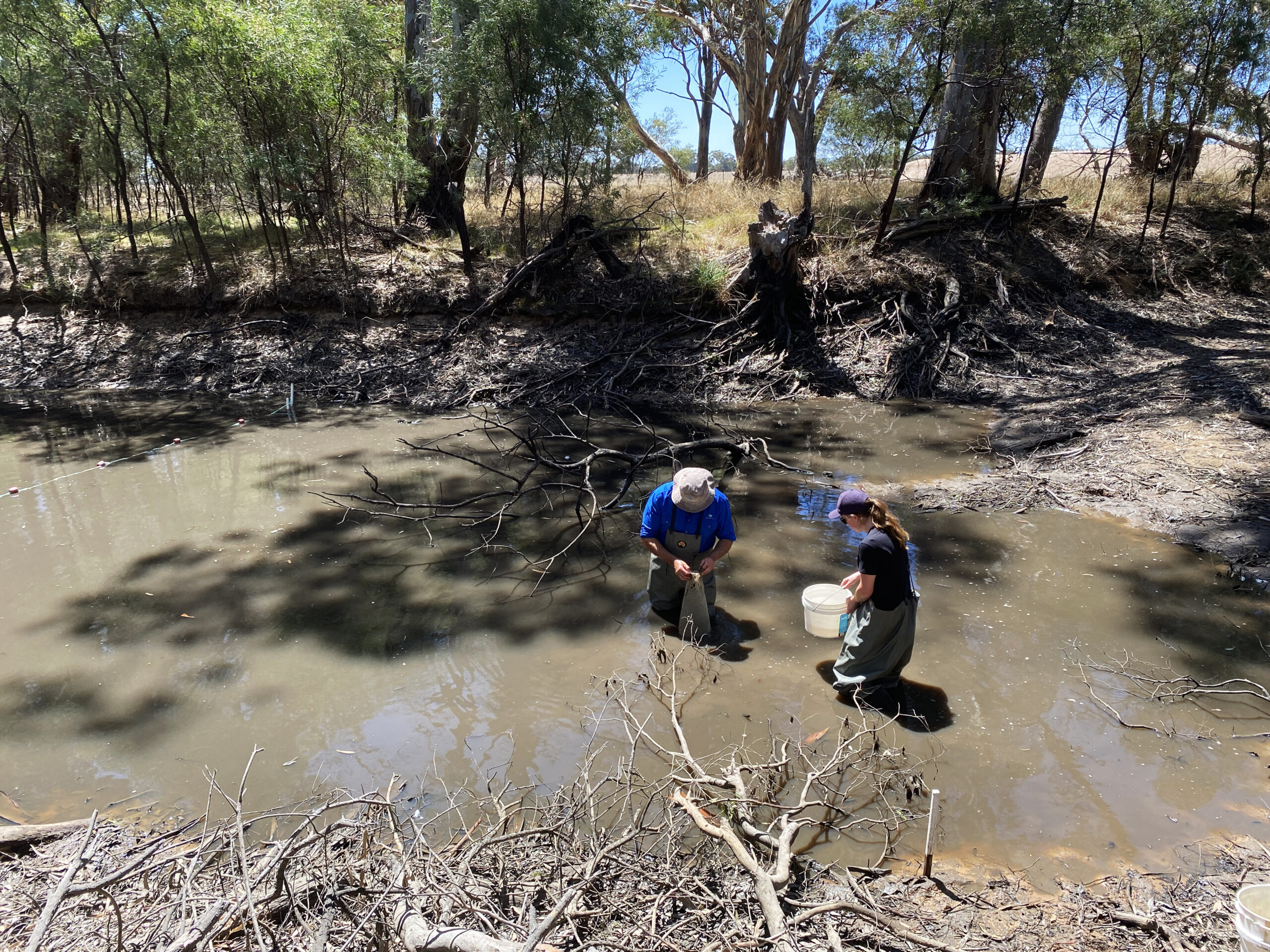
NORTH CENTRAL
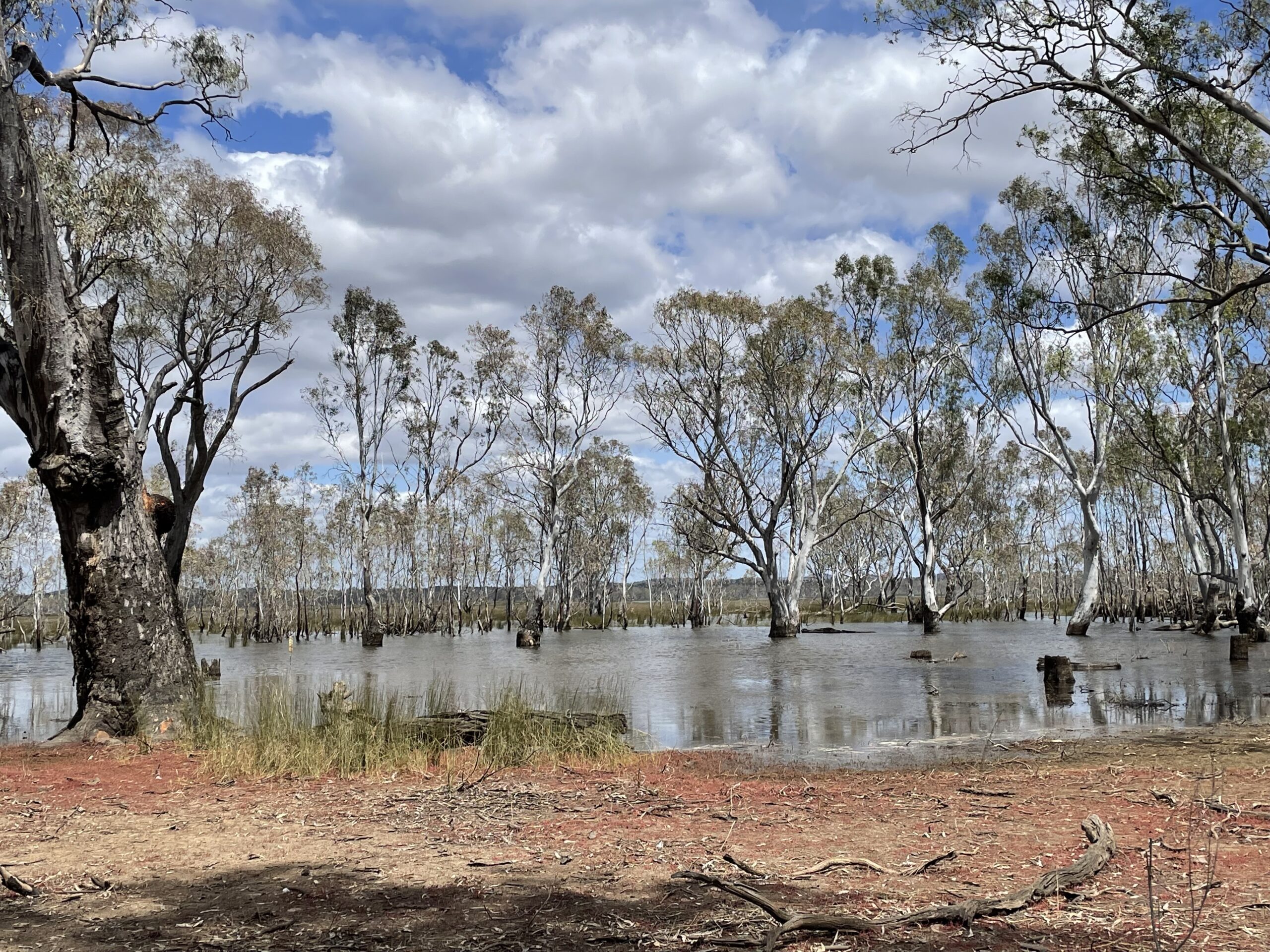
Water for Country
Eleven years working alongside local First Nations people to restore and protect one of the few remaining river red gum floodplains in Victoria has produced long lasting legacies and opportunities.
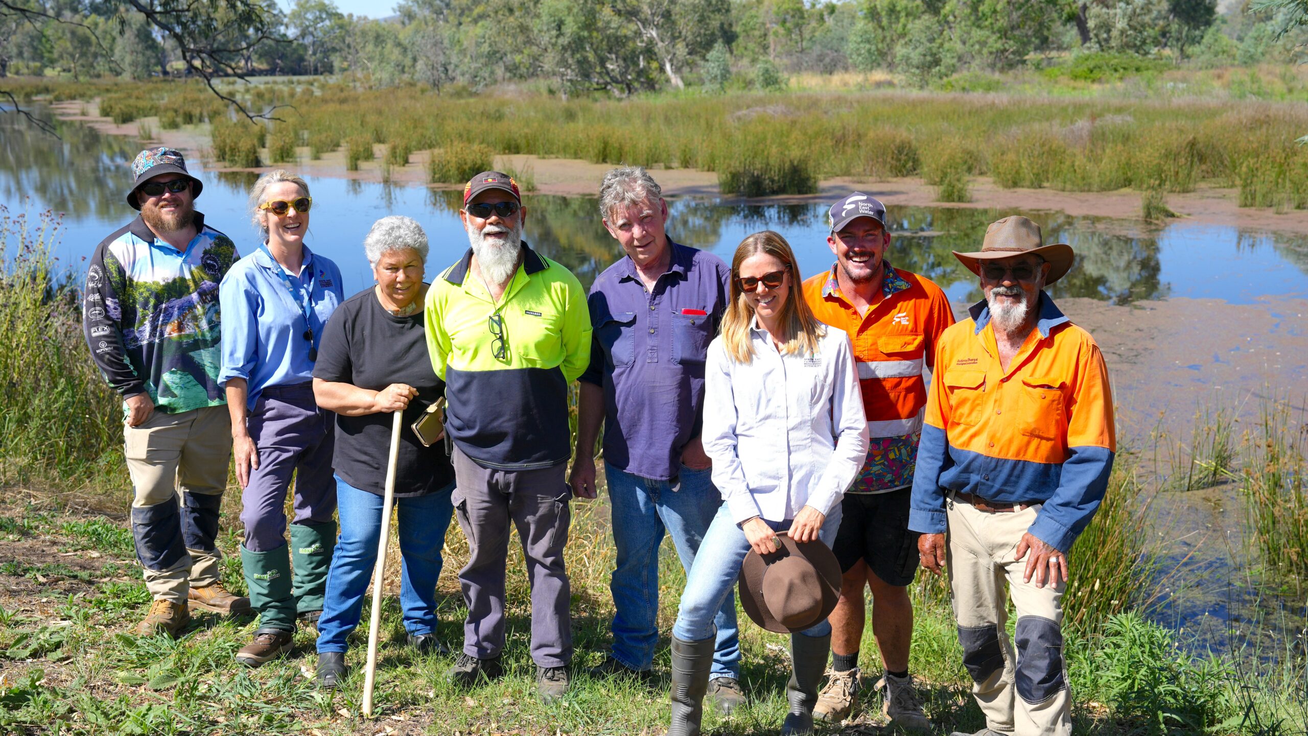
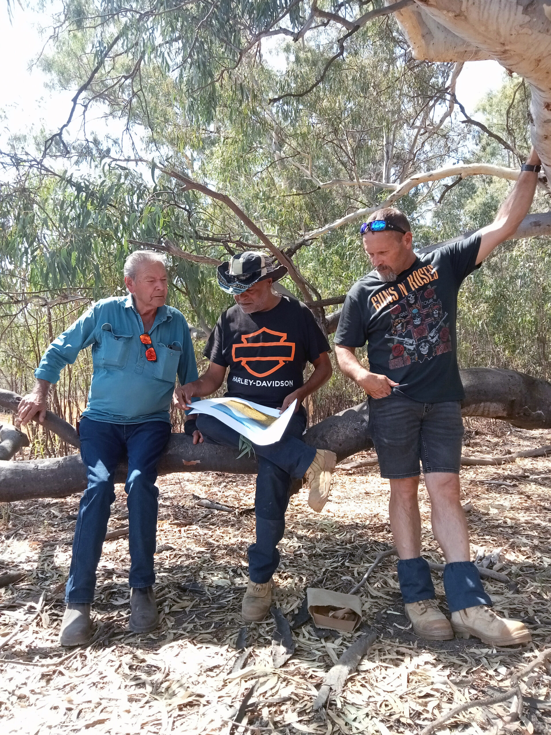
NORTH EAST
Revitalising Ryans Lagoon
Duduroa Dhargal Aboriginal Corporation is leading the restoration and stewardship of Ryans Lagoon Nature Conservation Reserve, transforming former cattle paddocks into a thriving wetland of ecological and cultural importance.
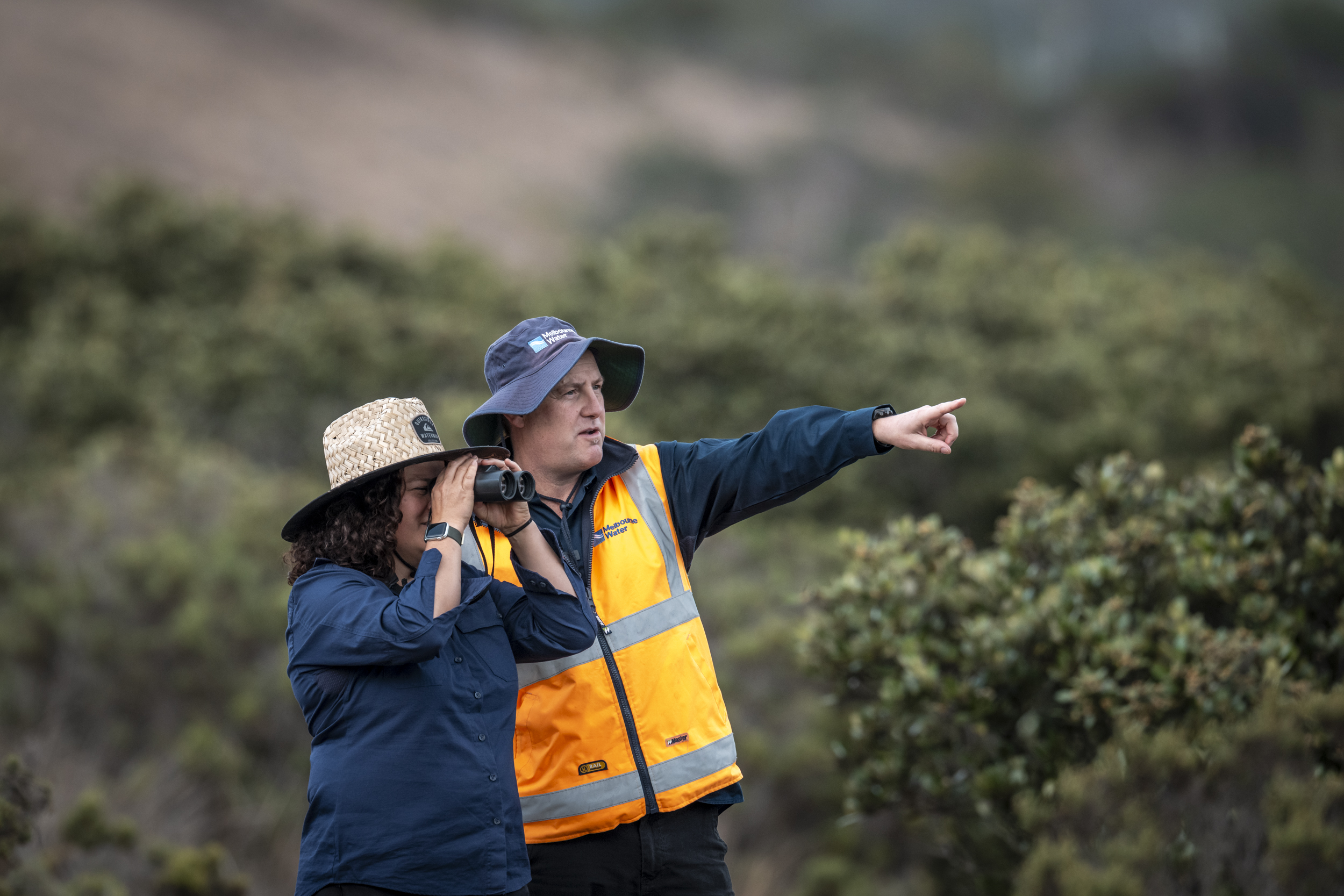
MELBOURNE WATER
Protecting Western Port Ramsar Wetlands Through Partnerships
The Western Port Ramsar site, stretching nearly 60,000 hectares across wetlands, tidal flats and seagrass meadows, is a biodiversity hotspot of global significance.
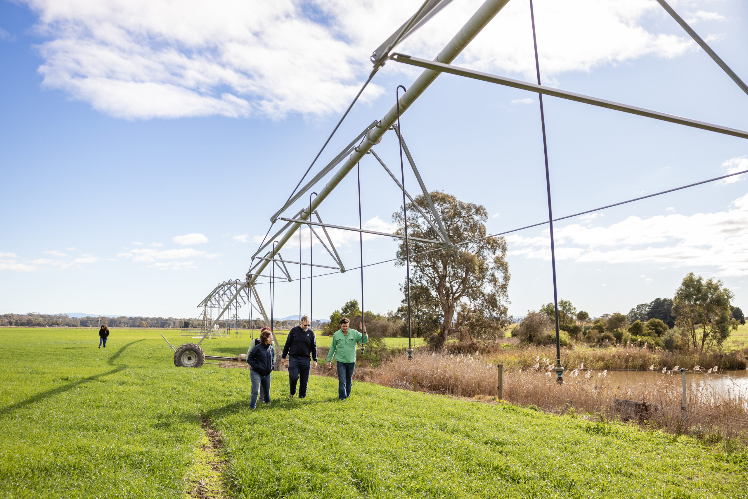
WEST GIPPSLAND
Celebrating a 25 year Pivot Towards Sustainable Farming Future
For a quarter of a century, Gippsland’s sustainable irrigation program has been producing positive results with long-term partnerships at the centre of its success.
WIMMERA
Planning Water Management for Dry Times
Wimmera CMA is planning to tap into a vast regional piping network to protect environmental waterway assets