Glenelg Hopkins CMA
The Glenelg Hopkins Catchment Management Authority protects and enhances the land, water and biodiversity across 26,910 sq km of Victoria’s South-West.
The region’s includes the cities and townships of Ballarat, Hamilton, Warrnambool, Ararat, Casterton, Mortlake, Port Fairy, Beaufort and Portland. There are four basins in the region: Glenelg, Millicent, Hopkins and Portland Coast.
The boundaries of the region include marine and coastal waters out to the state limit of three nautical miles. The south has flat volcanic plains, while the Grampians, Dundas tablelands, Black Ranges and Central Highlands dominate the north.
Our Future Vision
Empowered communities nurturing a rich and connected landscape for all – today, tomorrow, together.
2024– 25 Achievements
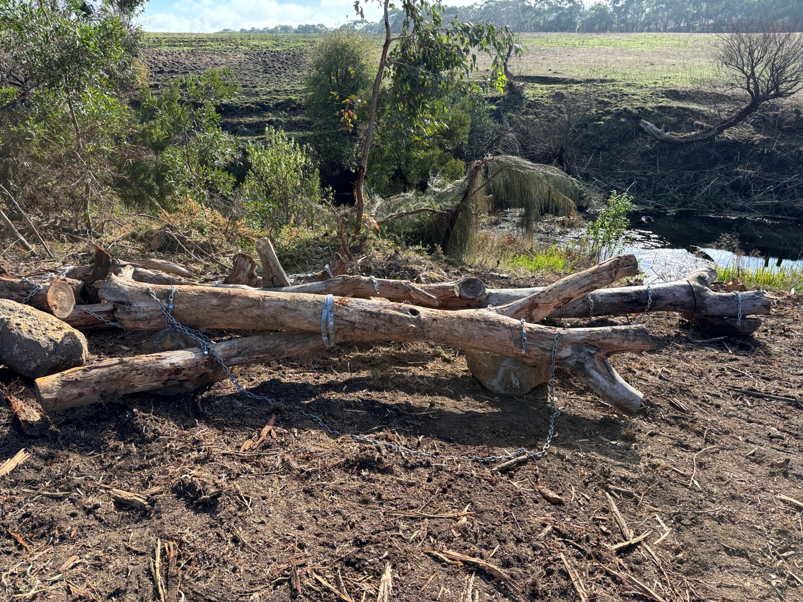
- Secured $1.62M for recovery and resilience building after the Grampians Yarram Gap Road
- bushfire with bank stabilisation, revegetation, riparian fence repairs, debris removal and weed control activities planned.
- Created new populations of endangered grassland species, and featured in The Age and ABC
- Television, promoting the importance of these grasslands to the wider community through the Saving 17 Species Project.
- Visited Country with amazing tour guides, where school students had unforgettable cultural heritage learning experiences and developed cultural knowledge about the Gunditjmara.
Case Studies
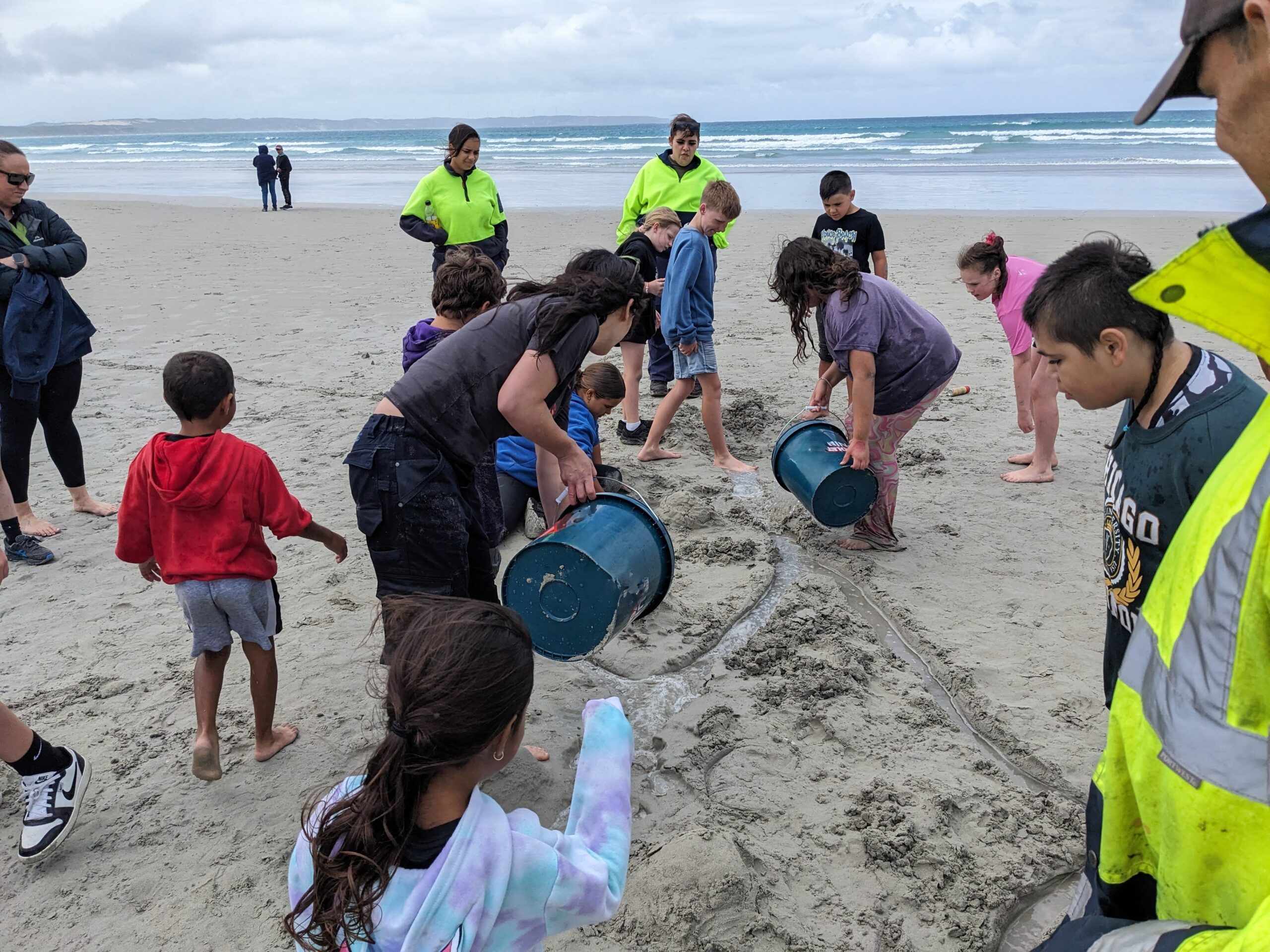
Junior Rangers learn On Country