North East CMA
Responsible for coordinating integrated catchment management and sustainable land and water use in Victoria’s North East.
Victoria’s north east is rich in natural assets; snow topped mountains, river valleys, open plains and natural forests.
The region is bounded by the Murray River in the north, the Victorian Alps in the south, the NSW border in the east and the Warby Ranges in the west. It takes in the local government municipalities of Wodonga, Indigo, Wangaratta, Alpine and Towong, plus parts of the Moira and East Gippsland shires.
Our Future Vision
Diverse, healthy and connected landscapes and communities.
2024 – 25 Achievements
- Completed three flood and bushfire recovery projects with a $2.2M investment into local contractors, landowners, businesses, and community groups to restore infrastructure, support environmental works, and partner with Traditional Owners on cultural assessments.
- Involvement of 186 Traditional Owners /First Nations peoples from 9 groups in project planning, delivery and partnerships, including participation in Ryans Lagoon environmental watering, cultural burning and alpine protection projects
- Invested over $600,000 in local community, producers, Landcare groups and organisations to support sustainable agriculture and practical changes in planning and responding to dry seasonal conditions and drought.
Case Studies
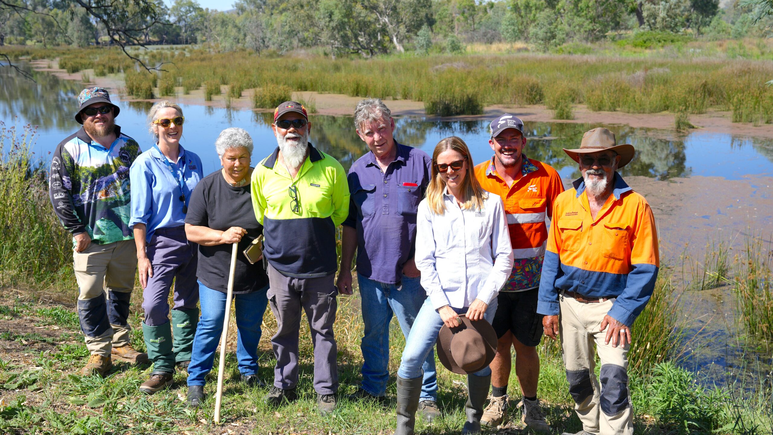
Revitalising Ryans Lagoon